Galleria foto

- Lenght
- 19.00 km
- Tempo
- 6 hours 40 minutes
- Tappa
Elenco risultati
- Ascent elevation gain
- 1270 m
- Descent elevation loss
- 1020 m
- Difficulty
- Hiking
- Itinerary index
- No
Informazioni
Punto di partenza
Gondo
3901 Zwischbergen
Switzerland
Punto di arrivo
Graniga
28842 Bognanco VB
Italy
Come arrivare
Gondo can be reached from Italy and Switzerland by the international road of the Sempione Pass. Graniga can be reached from Domodossola by the Bognanco Valley provincial road
Railway stations of reference Domodossola (IT) and Briga (CH). Timetable: www.trenitalia.com; www.bls.ch
By bus: Domodossola postbus - Brig. Timetable: www.autopostale.ch
A bus line goes up the Zwischbergental from Gondo
Graniga is reached by the bus line Domodossola - Val Bognanco (www.comazzibus.com)
Descrizione
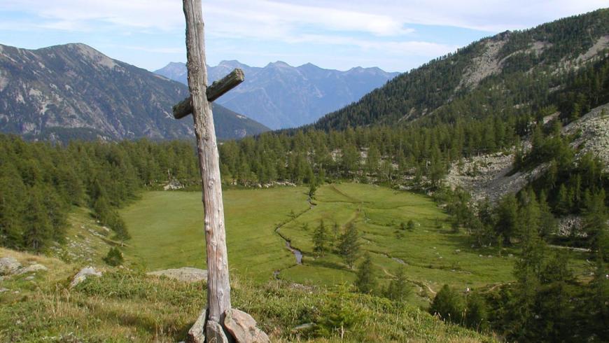
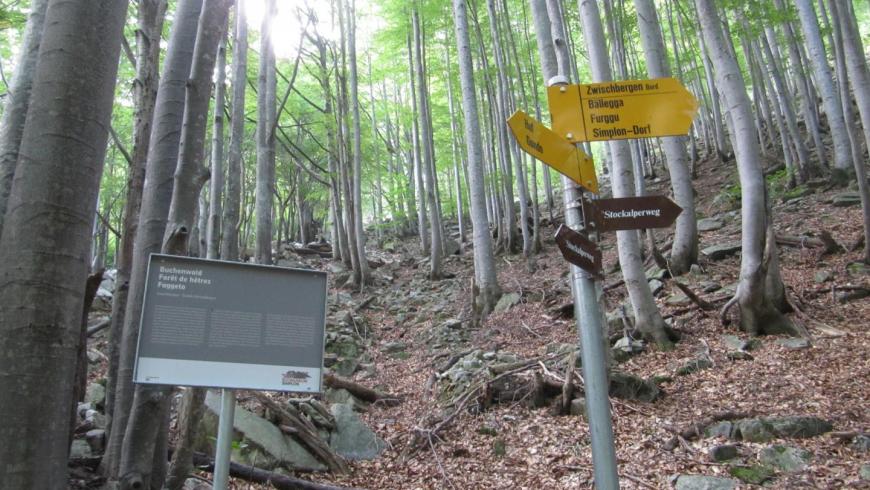
From Gondo we enter Zwischbergental. In the beginning the path cuts through the carriageable road’s hairpin bends. Around Hoff we cross a bridge and go back up to the valley on the right side of the river up to just before the lake where we get back on the right side of the river, coasting the lake up to Zwischbergen. From here onwards we take the track towards the Monscera Mountain Pass which cuts through the hairpin bends of an alpine track. We reach the Pussetta Alp and via one last steep tract on a set of steps we reach the Monscera Mountain Pass and come back to Italy. We go down the diagonal path to the Gattascosa Mountain Hut touching upon the Ragozza Lake and going down to Saint Bernardo. Following the tracks marked “D00” we go down to Gallinera and Gomba and at last reach Graniga.
Recommended period
Accessible to people with disabilities
Support points
Accommodation and restaurants in Zwischbergen, Rifugio Gattascosa under the Passo del Monscera, Rifugio San Bernardo in San Bernardo, at Gomba
Interest points
The Great waterfall of the Grosses Wasser and the pots of Gondo. The gold mines (the Gold of Gondo). Stockalper Tower in Gondo (seat of the Gold Museum). Lakes and peat bogs under the Monscera Pass
Dettagli
Profilo altimetrico
Dati tecnici
- Code
- STK
- Classification
- Provincial - Mid and Low Altitude
- Local Tourist Agency (LTA) reference
- ATL Distretto Turistico dei Laghi
- Country
- Italy
- Switzerland
- Region
- Piemonte
- Canton du Valais
- Province
- Verbania
- Devotional relevance
- No
- Historical relevance
- Yes
- Ultima data di aggiornamento
- 15/12/2023
Altre info

Tappe
Tappe attività
-
0VIA STOCKALPER - Val BognancoLunghezza66.50 kmTempo22 hours 10 minutesDifficoltàHiking
-
1VIA STOCKALPER Stage 1: Brig - Simplon PassLunghezza14.00 kmTempo5 hours 50 minutesDifficoltàHiking
-
2VIA STOCKALPER Stage 2: Passo del Sempione - GondoLunghezza19.00 kmTempo4 hours 40 minutesDifficoltàHiking
-
3VIA STOCKALPER Stage 3: Gondo - GranigaLunghezza19.00 kmTempo6 hours 40 minutesDifficoltàHiking
-
4VIA STOCKALPER Stage 4: Graniga - DomodossolaLunghezza14.50 kmTempo5 hoursDifficoltàHiking