Galleria foto

- Lenght
- 17.50 km
- Tempo
- 4 hours 30 minutes
- Tappa
Elenco risultati
- Ascent elevation gain
- 139 m
- Descent elevation loss
- 151 m
- Difficulty
- Touristic
- Itinerary index
- No
Informazioni
Punto di partenza
Dusino San Michele
14010 Dusino San Michele AT
Italy
Punto di arrivo
Frazione Serra
14021 Buttigliera d'Asti AT
Italy
Come arrivare
Descrizione
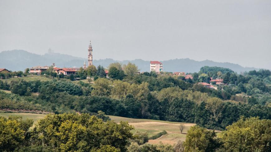
The route starts from Dusino San Michele, proceeding towards the east, where it reaches the town of Sant'Anna.
Continue straight on and further along the track becomes more windy, climbing up to the Bric Grosso, then descending towards the valley in the direction of the railway and reaches the paleontological site where the famous "mastodonte (Mammoth) of Dusino" was found.
Cross the railway and the motorway, arriving at Goria a district of Villafranca d'Asti.
Keep going for a short distance until the crossroads, turning left and proceeding for about 1800m to the cascina Goria, in the administrative area of San Paolo Solbrito.
After the farmhouse, turn right immediately, and then left, continuing for about 1500m before turning left at the crossroads.
Climb the steep hillside, finally passing the river Pincana.
The road turns to the left Leave the road keeping straight ahead up to the cascina Gai.
Continue straight on the road until you reach the Cascina Nuovo, in the administrative area of Villanova d'Asti.
Nearby there are some tourist accommodation facilities.
Keep on going, towards the north even when the road meanders a little, up to the Torretta farmhouse which is in the administrative area of Buttigliera d'Asti.
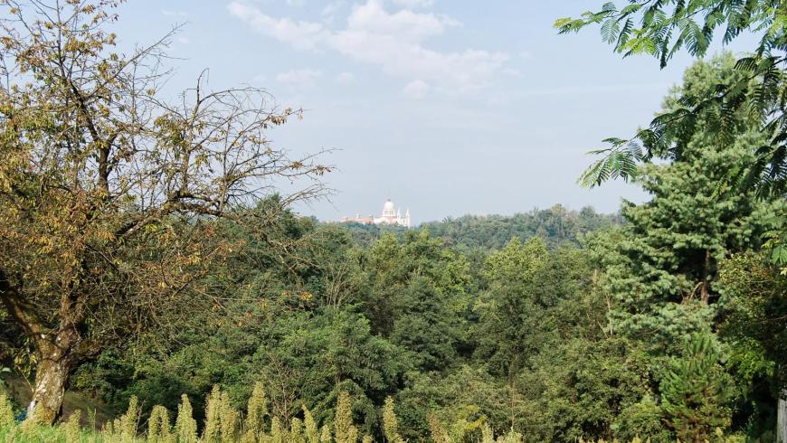
The route runs slightly to the west and, after about 4.5 km through woods and fields, it brings you to Serra, a district of Buttigliera.
Recommended period
Accessible to people with disabilities
Dettagli
Profilo altimetrico
Dati tecnici
- Code
- CDF
- Classification
- Provincial - Mid and Low Altitude
- Country
- Italy
- Region
- Piemonte
- Province
- Asti
- Devotional relevance
- No
- Historical relevance
- No
- Ultima data di aggiornamento
- 15/12/2023
Altre info
Accommodation facilities

Structure qualification
Cottage l'armonia
Località
SAN PAOLO SOLBRITO (AT)
Tappe
Tappe attività
-
0Walk among FossilsLunghezza92.70 kmTempo23 hoursDifficoltàTouristic
-
1Walk among Fossils: Stage 1 Dusino San Michele - Frazione SerraLunghezza17.50 kmTempo4 hours 30 minutesDifficoltàTouristic
-
2Walk among Fossils: Stage 2 Frazione Serra - Castelnuovo Don BoscoLunghezza5.30 kmTempo1 hour 50 minutesDifficoltàTouristic
-
3Walk among Fossils: Stage 3 Castelnuovo Don Bosco - Chiesa di S. PietroLunghezza4.60 kmTempo1 hour 25 minutesDifficoltàTouristic
-
4Walk among Fossils: Stage 4 Chiesa di S. Pietro - Passerano MarmoritoLunghezza7.70 kmTempo1 hour 55 minutesDifficoltàTouristic
-
4ACDF Tappa 4A: Chiesa di S. Pietro - Bivio tappa 4Lunghezza6.70 kmTempo3 hoursDifficoltàTouristic
-
5Walk among Fossils: Stage 5 Passerano Marmorito - CerretoLunghezza3.80 kmTempo40 minutesDifficoltàTouristic
-
6Walk among Fossils: Stage 6 Cerreto - Piovà MassaiaLunghezza1.90 kmTempo25 minutesDifficoltàTouristic
-
7Walk among Fossils: Stage 7 Piovà Massaia - CocconatoLunghezza5.50 kmTempo1 hour 45 minutesDifficoltàTouristic
-
8Walk among Fossils: Stage 8 Cocconato - MoransengoLunghezza8.00 kmTempo2 hoursDifficoltàTouristic
-
9Walk among Fossils: Stage 9 Moransengo - TuffoLunghezza6.50 kmTempo1 hour 25 minutesDifficoltàTouristic
-
10Walk among Fossils: Stage 10 Tuffo - CortiglioneLunghezza6.00 kmTempo1 hour 35 minutesDifficoltàTouristic
-
11Walk among Fossils: Stage 11 Cortiglione - Montiglio MonferratoLunghezza7.80 kmTempo2 hoursDifficoltàTouristic
-
12Walk among Fossils: Stage 12 Montiglio Monferrato - ToncoLunghezza10.40 kmTempo2 hours 30 minutesDifficoltàTouristic
-
13CDF Tappa 13: Tonco - Castell'AlferoLunghezza7.00 kmTempo1 hour 40 minutesDifficoltàTouristic