- Lenght
- 1.43 km
- Tempo
- 8 hours
- Tappa
- Dislivello salita
- 400 m
- Difficoltà
- Challenging
- Indice itinerario
- No
Informazioni
Punto di partenza
Pratorotondo Acceglio
Pratorotondo Acceglio CN
Italy
Punto di arrivo
Italy
Come arrivare
Descrizione
ACCESS
From Dronero (Cuneo) take the Maira Valley until Acceglio, turn left and take the Vallone of Unerzio
up to Pratorotondo (parking).
ITINERARY
From Pratorotondo, take the paved road, past the towns of Viviere; the 2nd hairpin turn go toleft and, after about 500 m, take the path on the right (signs for Colle Enchiausa) when you reach the Enrico Mario bivouac there is a panel which describes the itinerary in detail. (Do not follow the 'sign on the right VF in yellow, just below the lodge)
The route is all made safe with new cables and anchors.
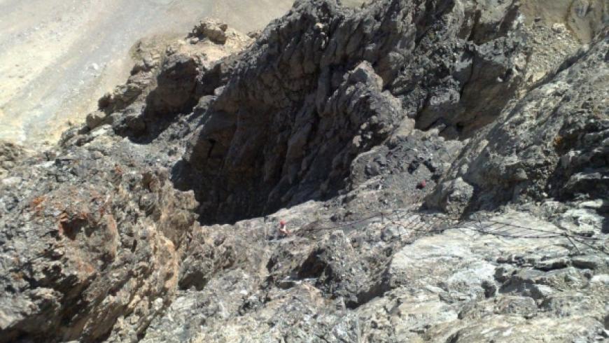
In the first section after the bivouac the trail is narrow but well marked, in steep slope. Later, the trail becomes more exposed, but there are the anchors to climb to safety; then begin two parallel cables with short break, where you can clip to the anchors. It leads to the second refuge and climb the long final staircase leading to the Cima Dronero (3050 m).
Wanting to reach the true summit, you are faced with a sudden unprotected, with a passage of 4 ° degrees
DESCENT
It occurs along the ascent route (you may want to bring a 50 m length to be able to perform in some abseiling points).
Accessible to people with disabilities
Dettagli
Dati tecnici
- Esposizione
- Est
- Nazione
- Italy
- Regione
- Piemonte
- Provincia
- Cuneo
- Altro
Provincia di Cuneo
Alpi Cozie
Valle Maira
- Interesse devozionale
- No
- Interesse storico
- No
- Ultima data di aggiornamento
- 15/12/2023